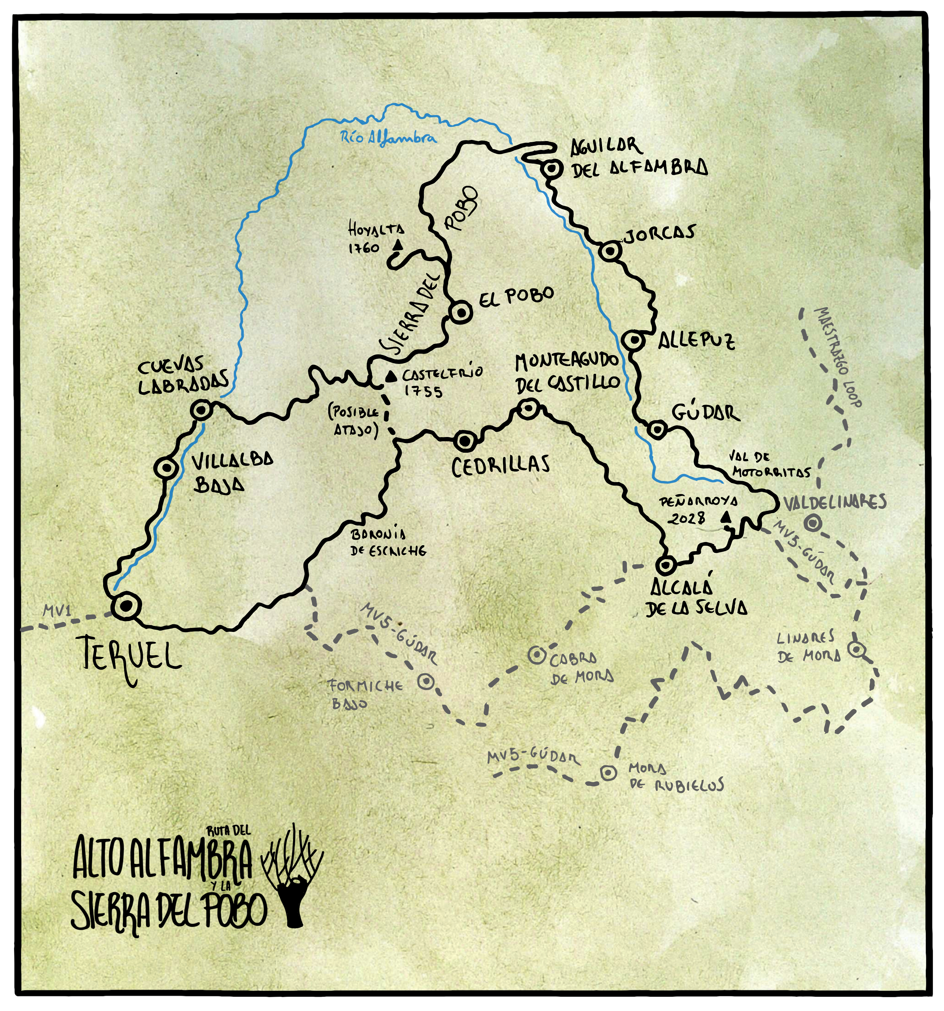
190km / 3700m+ / 83% off-road
Just over two years ago, the GR199 hiking trail was launched in the area known as Parque Cultural del Chopo Cabecero, in the Alto Alfambra area. It joins the source of the river Alfambra, on the slopes of Pico Peñarroya, with Galve, mostly along its course.
Taking this trail as inspiration and reference, I wanted to make an interpretation of it to create a kind of «tasting tour» along the great diversity of landscapes in this area, which are sometimes unknown even to those already initiated in the lands of Teruel.


It could be seen as an overnighter route itself, to cover its 190km in 2 or 3 days, but it could also be seen as an «extra fascicle» of MontañasVacías for those who want to extend it. Another demanded use of this kind of route is for those who, for example, had to discard the Sierra de Gúdar section on a previous visit, and are now looking to add an additional loop to form a complete route for a new visit.
This map shows how the two routes overlap, or even a possible shortcut in case you want to keep only the most scenic parts of this route:
Track In RideWithGPS
Google Drive
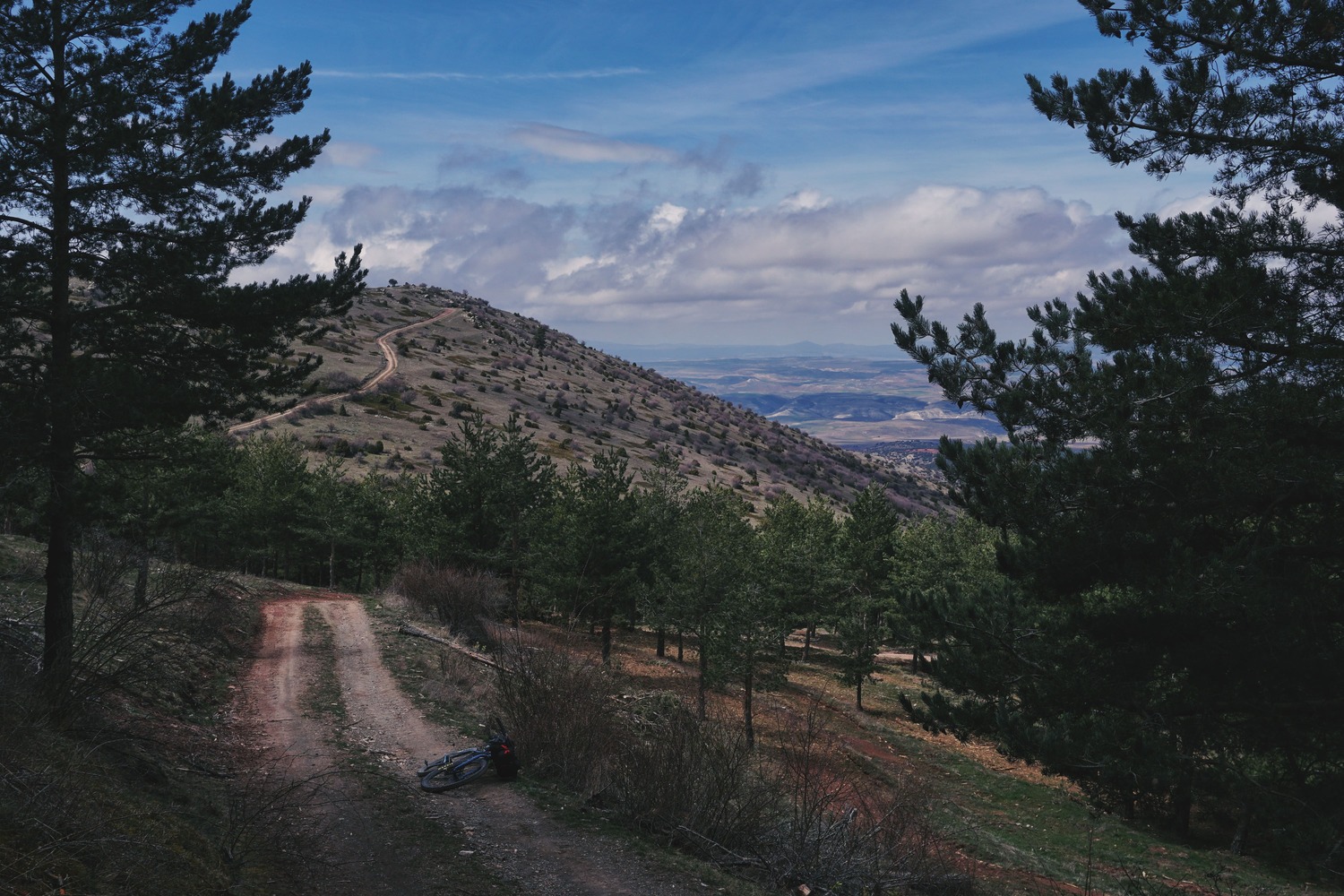
The route will take us from lush pine forests to high altitude desert moorlands, we will witness the most traditional use of wood in the river valleys, and we will cycle alongside the remains of a centuries-old wool transport route. It’s a different route, highly varied, highly intense in both form and substance, but it won’t leave anyone indifferent.
My aim is to raise awareness about the conservation and care of these vulnerable, remote and evocative landscapes, where silence is one of the most valuable resources.
It has an impressive cultural heritage that stands out for its fragility as many of these treasures could disappear completely in a few years time.
AREAS OF INTEREST
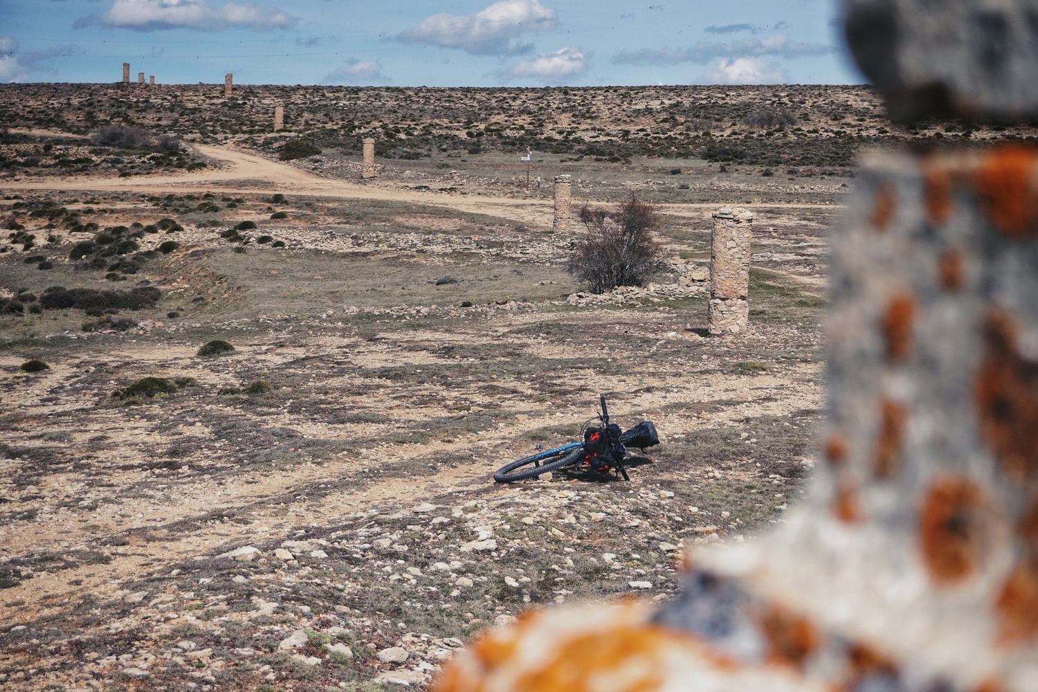
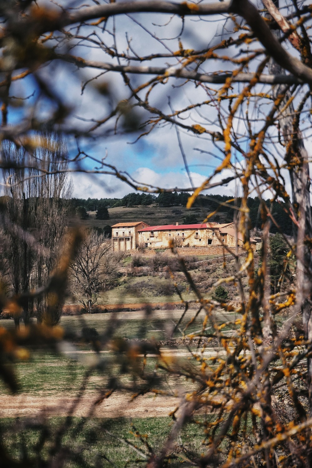
Baronía de Escriche. A group of 14 abandoned farmhouses, known as «masías», headed by the Casa Grande de Escriche, once the palace of the Baron of Escriche. Today, it’s an abandoned tourist megaproject. A highly symbolic location. Up to 50 people once lived in these valleys.
Salador Valley. Once we leave Cedrillas and Monteagudo del Castillo, we enter this impressive valley, one of the highlights of the route and a sample of the thousand different landscapes that this area may offer.


Peñarroya Peak y Valdelinares ski area. The highest point in the province of Teruel. The ascent is made from Alcalá de la Selva along the MontañasVacías descent. Therefore, this is the point where both routes can be linked easily, as you can see on the map.
Val de Motorritas. Located in the slopes of Peñarroya Peak, this is the source of the river that gives meaning to the GR199, the Alfambra. In this impressive landscape we can highlight the group of «Masías» and the Hermitage of Santa Quiteria, km0 of the GR199.


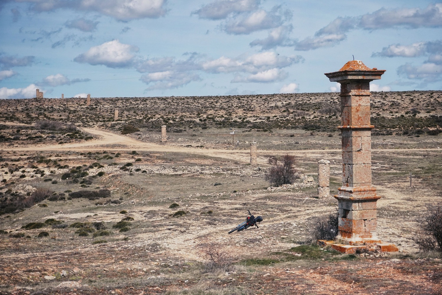
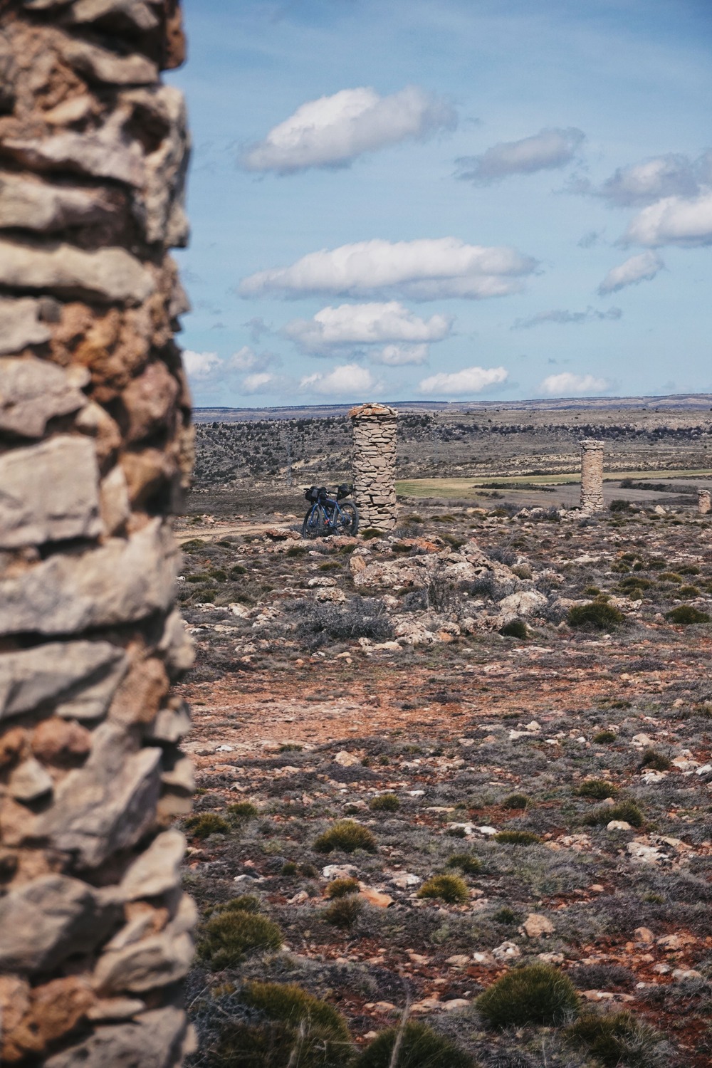
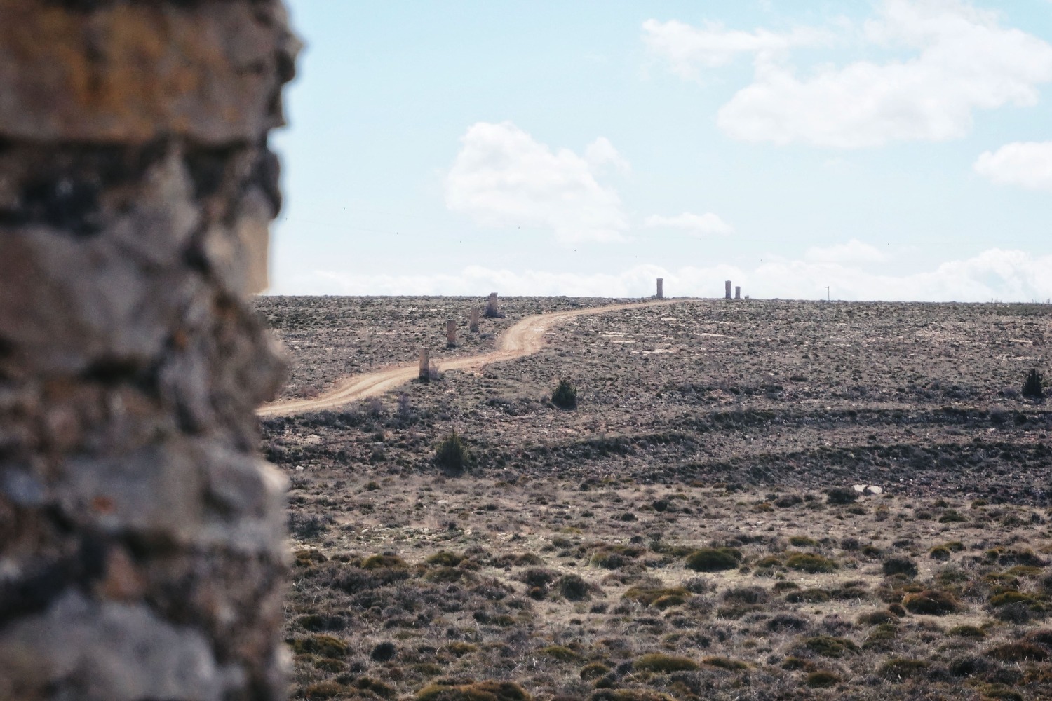
Camino de los Pilones. Once in Allepuz and after a good lunch at Casa Paquita (a must), the route follows one of the sections of the Camino de los Pilones: An impressive wool trade route, once made up of hundreds of monoliths spaced far enough to be visible in winter even if snow or fog covered these mountains. It was used since the end of the Middle Ages to transport woollen fabrics from these villages to Maestrazgo, in Castellón.
More info about this path, here.
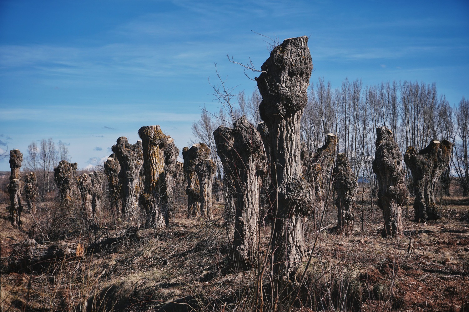
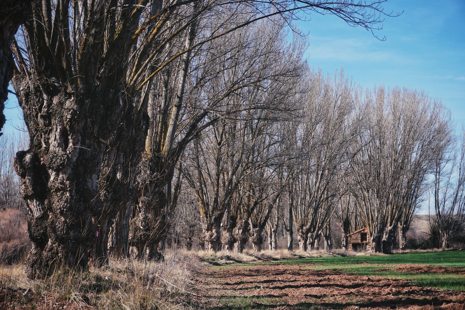
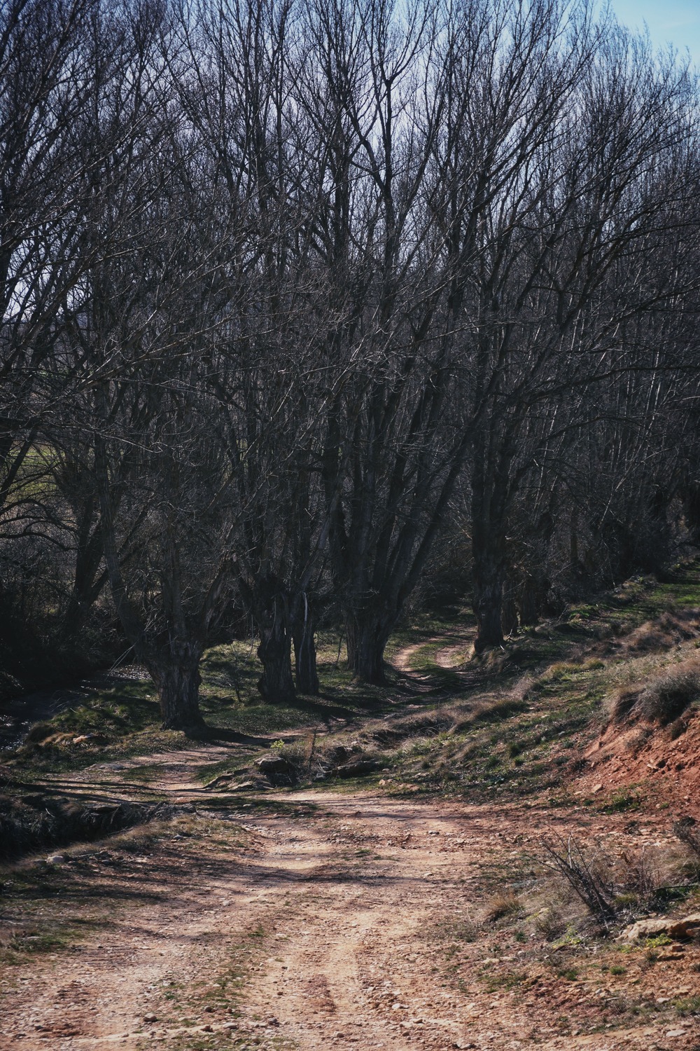
Los Chopos Cabeceros. Once we leave Jorcas we meet the Alfambra river again. Over the next few kilometers, these unique trees become the stars of the show. For generations, these black poplars have been periodically pruned to a certain height, out of reach of livestock, for use as timber, fuel or fodder. They are part of the identity of these villages and a symbol of their landscape. These trees contain an enormous cultural, ecological and landscape value that must be cared for and preserved, being as well a unique resource in Europe.
More info about these trees, here.


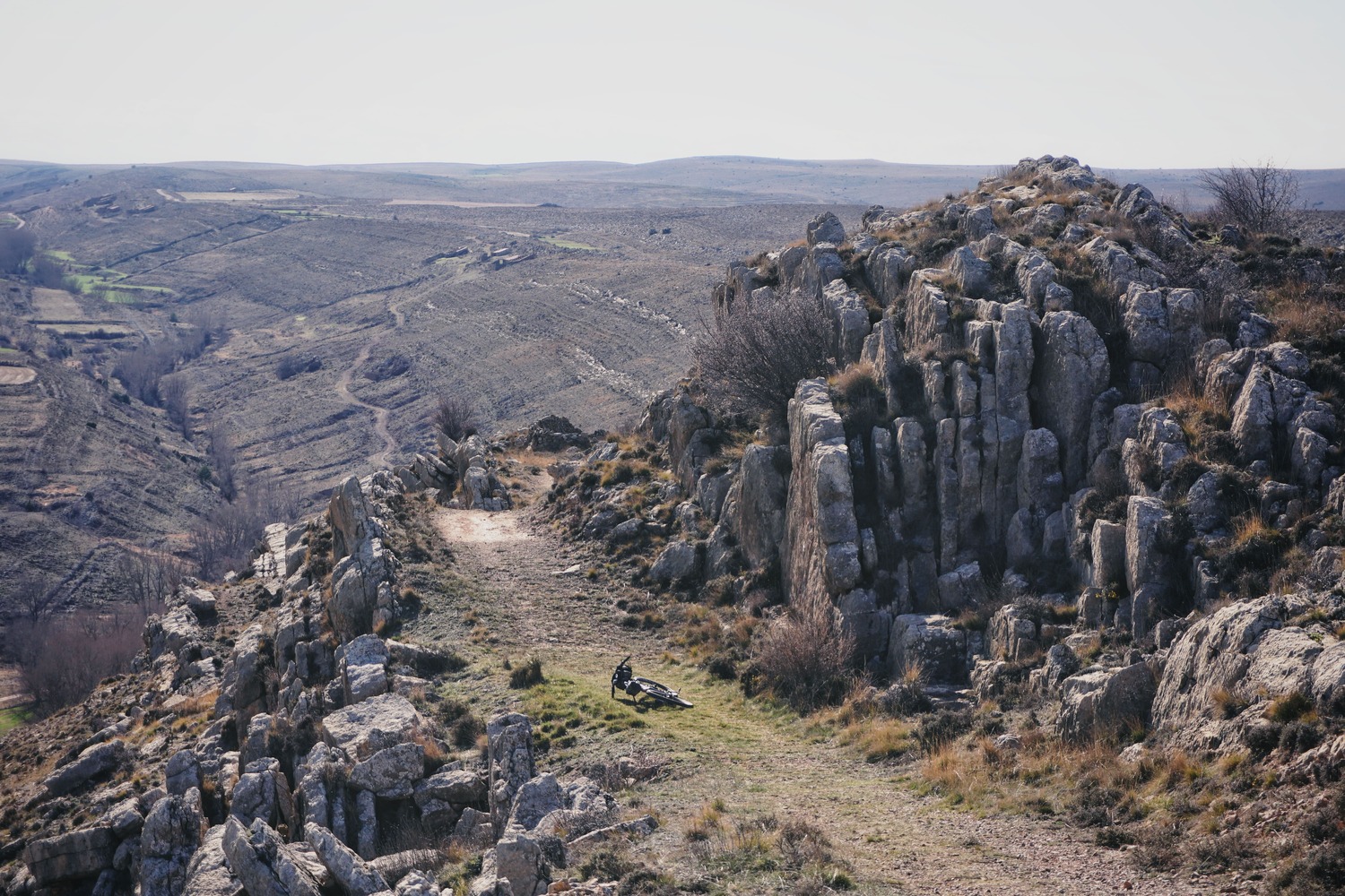
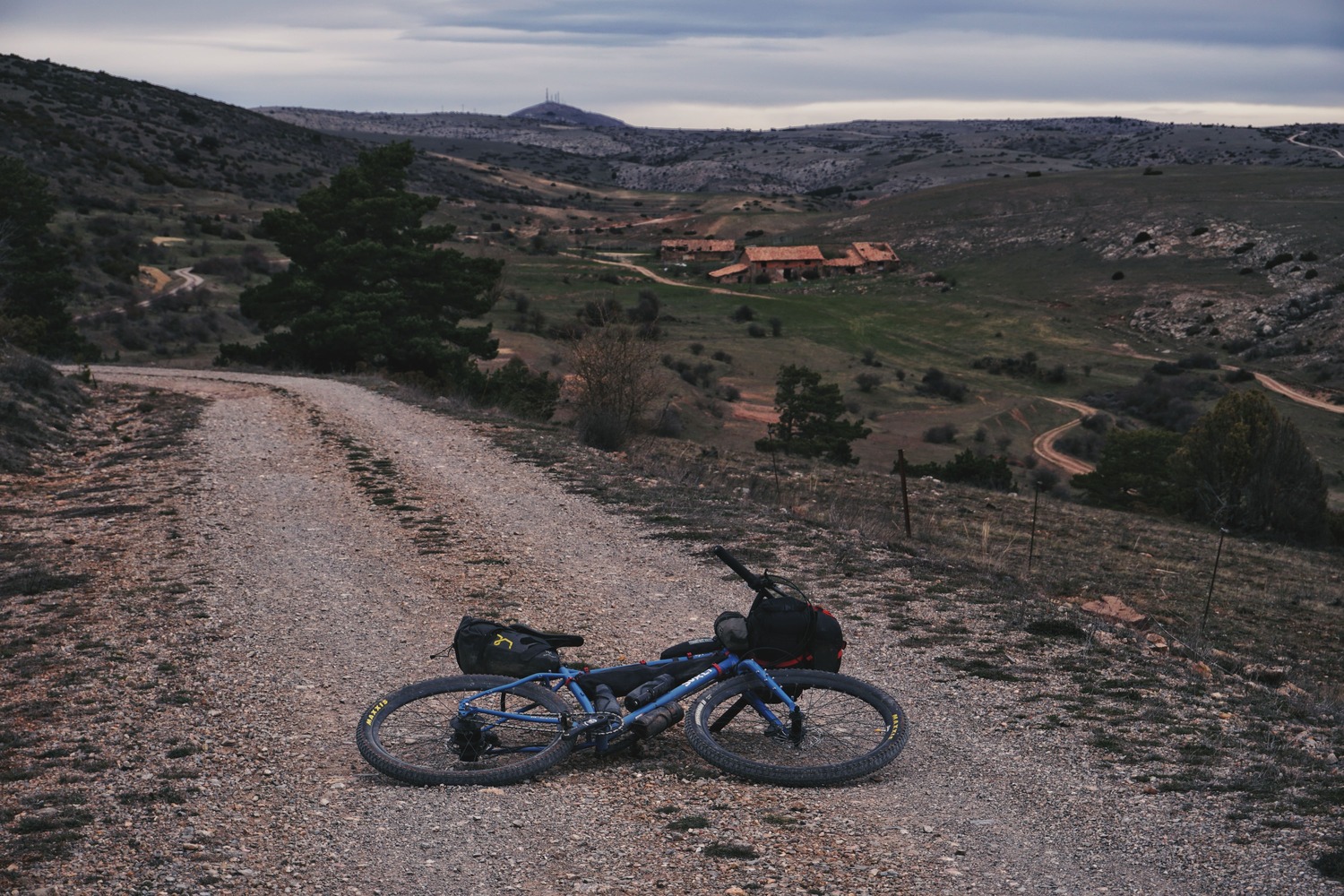
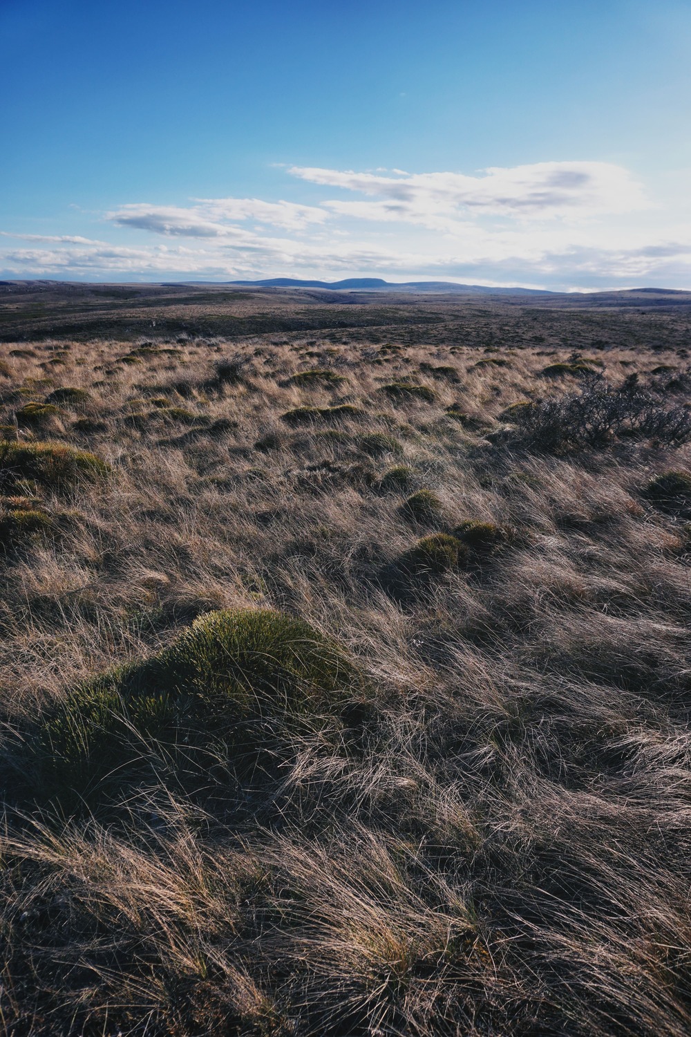
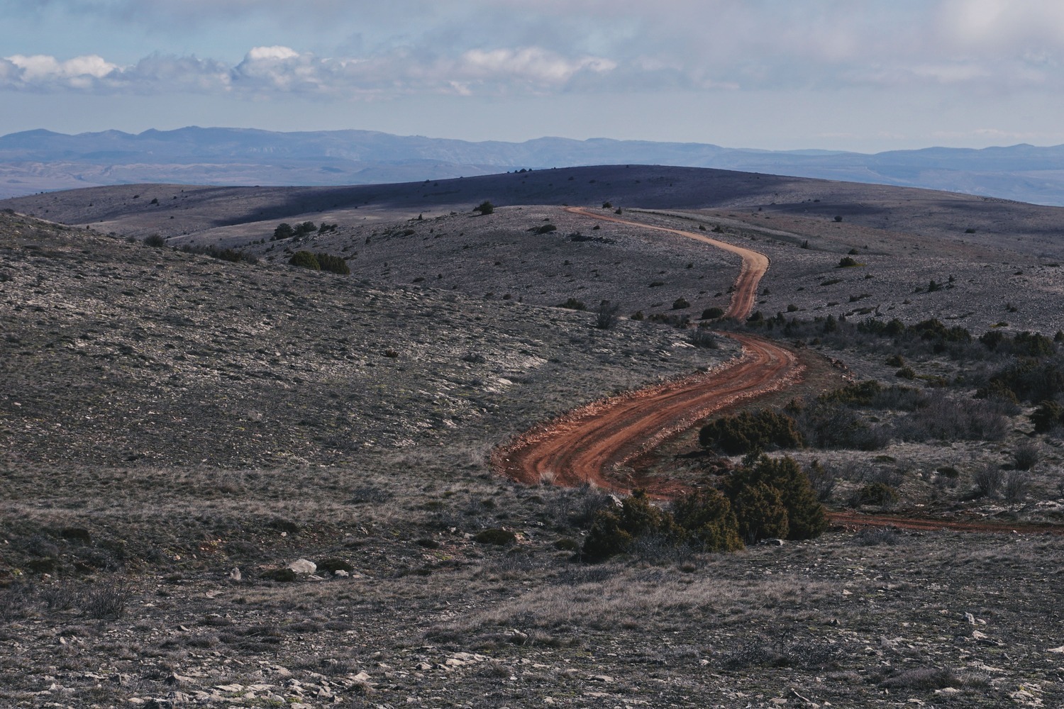
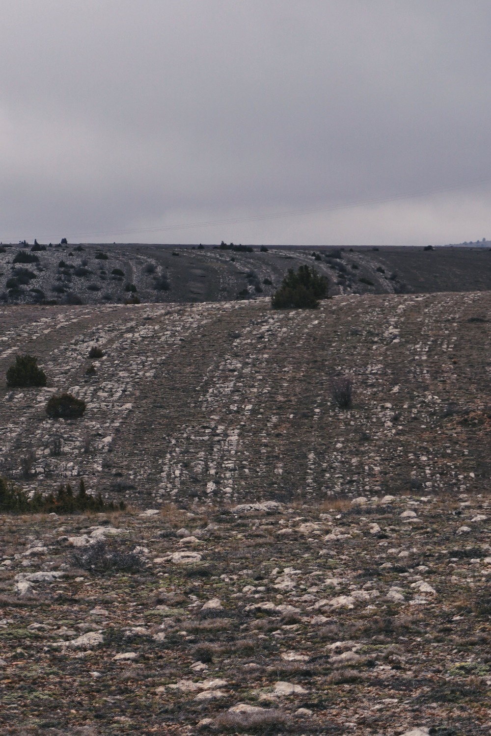
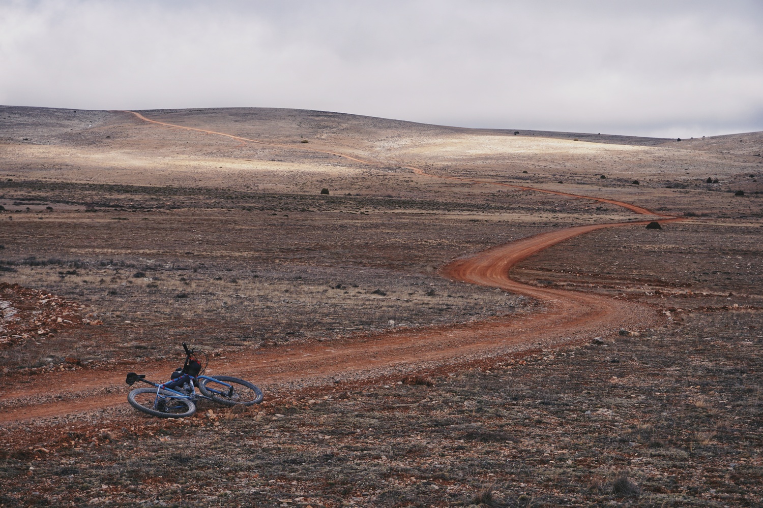
Las Parameras de las Tierras Altas (Highland Moors). Undoubtedly one of the highlights of the route. Crossing this enormous «void» from Aguilar del Alfambra to El Pobo takes you to remote places on the planet, but above all to remote places in yourself: It’s a unique experience to ride solo in a place where you see nothing for kilometres and kilometres around, a huge treasure in our days. You won’t find any water up here, the wind can blow hard, and the road, although in good condition and not technically difficult, can undermine your morale by the constant rattling, especially if you’re already tired after a long day’s ride. Don’t miss the climb to the top of Hoyalta, the highest point of the Sierra del Pobo, at 1760m. The 360º views from there won’t leave you indifferent.


You’ve earned a hot coffee or a good lunch in El Pobo, the 36 kilometres from Aguilar del Alfambra to El Pobo are probably my favourite part of this route, although it took my nerves out of me at a couple of points.
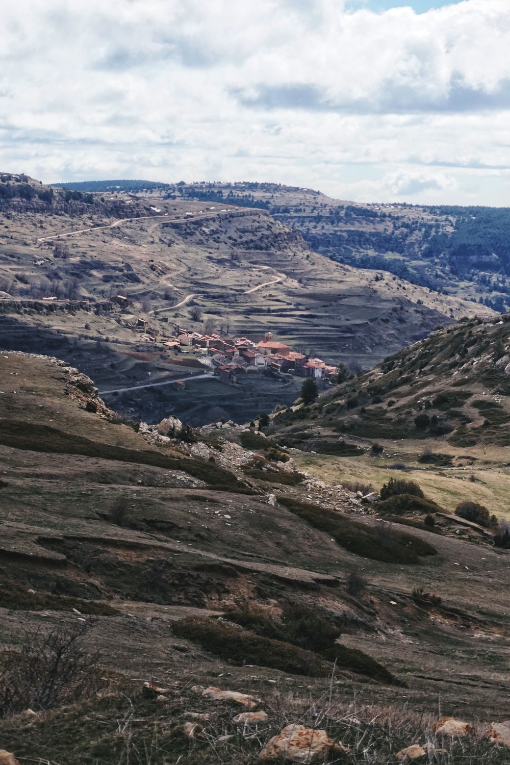
Once in El Pobo, we still have to go up the slopes of this mountain range once again to descend from the Highlands around the Cerro de Castelfrío, from where we will lose almost 800 metres in altitude till we meet again the river that guides us all the way.


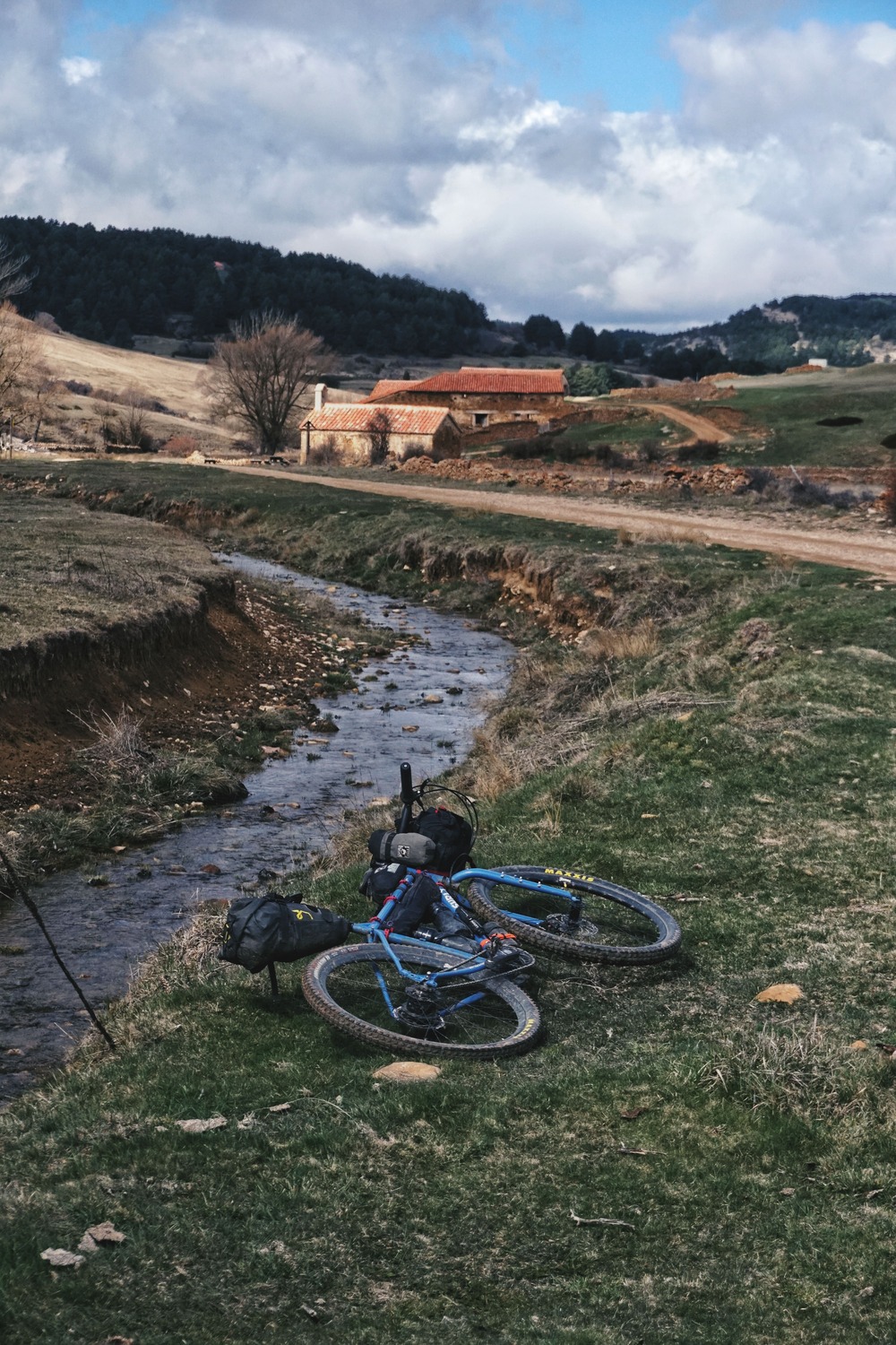
Back to Teruel. The long descent ends in Cuevas Labradas, from where we could cycle alongside the Alfambra river along the natural path called Senda Fluvial del Alfambra, but it was abandoned due to lack of maintenance, so we should have to ford the riverbed in several points, more than one metre deep. It’s a pity that such a resource is in such a state. We’ll return to Teruel following what we hope in the future will be the Greenway of the Alfambra, which will connect the Ojos Negros Greenway in Teruel with the Val de Zafán Greenway in Alcañiz, which could be a very interesting resource for the area. Let this mention in my route serve as a small breath of optimism and confidence that it won’t suffer the same fate as the Senda Fluvial del Alfambra.


Symbolically, the route ends a few hundred metres before entering Teruel, at the junction between the Alfambra and the Guadalaviar rivers, from where it takes the name of Turia until it reaches the Mediterranean.
The Process
It’s said that journeys are three times experienced: when dreamed of, when lived, and when remembered. In my case, I’d add a fourth one, with all those short escapes and R&D weekends testing roads, drawing lines, and discovering places before the general attempt of a route like this. It’s a process that always excites me, motivates me, and is part of me. Many more of these!


SERVICes
- Cedrillas. Bars, Restaurants, accommodation and several shops. Pay attention to the Jamón de Teruel, a must in this village.
- Monteagudo del Castillo. Bar, Restaurant, and Campervan Area.
- Alcalá de la Selva. Bars, Restaurants, Campsite and Accommodation.
- Gúdar. Bar, Restaurant, and Accommodation.
- Allepuz. Bar, Restaurant, and Accommodation.
- Aguilar del Alfambra. Bar and small grocery shop. Excellent artisan cheese, a must. The grocery shop also offers accommodation. (CLOSED!)
- El Pobo. Bar and small grocery shop. (CLOSED!)
- Cuevas Labradas. Bar.
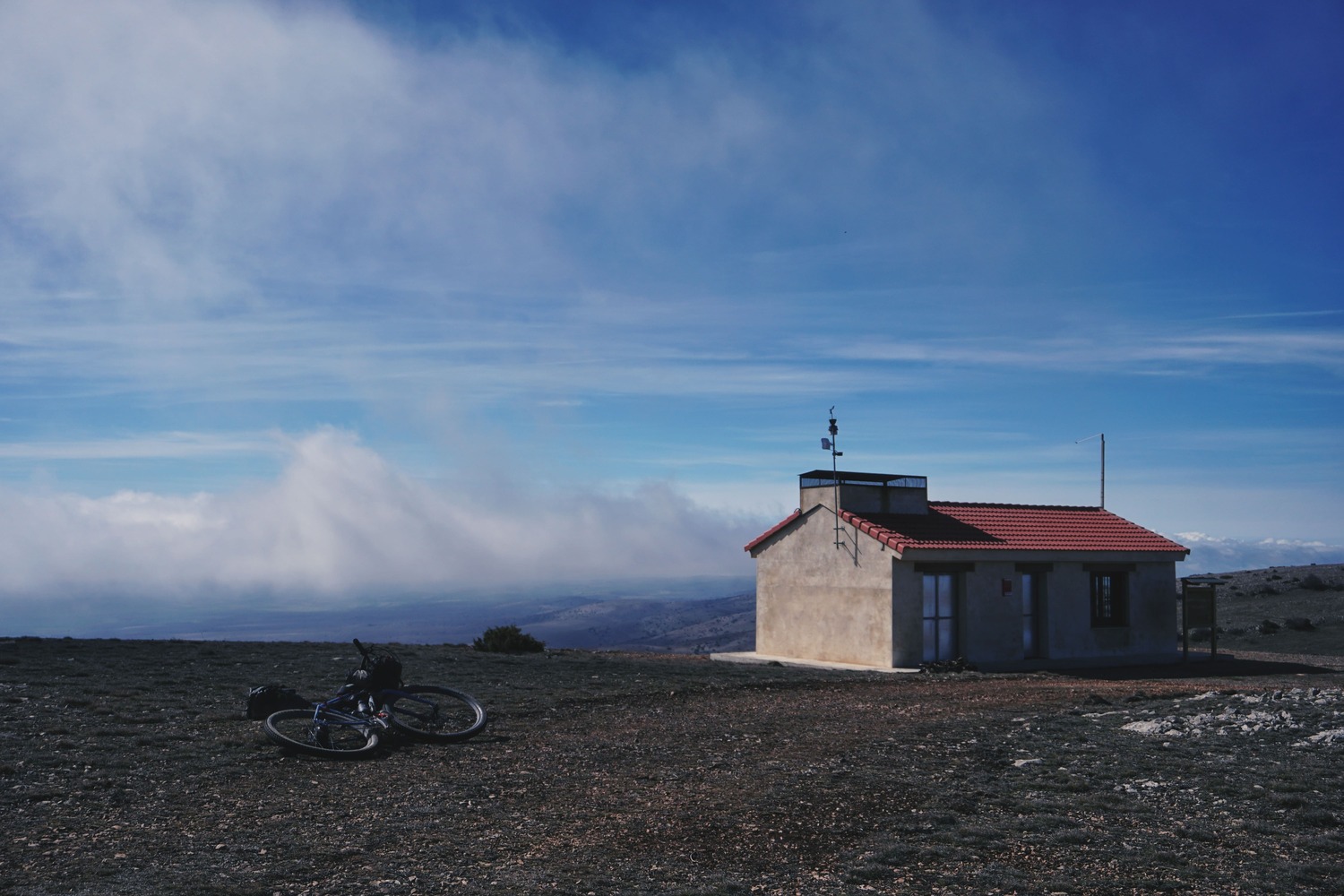
Refuges: There are three on the route. One shared with MV, near the summit of Peñarroya, and two others that I will not locate, but that won’t be difficult to find for someone who works the track on other cartographies.
MV POINT EL POBO
A self-managed, private assistance point, located at a local resident’s home. For this reason, I won’t be publishing their contact details here. If you need them, please email me at montanasvacias@gmail.com and I’ll put you in touch. It has basic tools, spare parts, and accommodation available in case of an emergency.
ACKNOWLEDGEMENTS
This route wouldn’t have been possible without the knowledge and passion for the territory of two people I admire: Chabier de Jaime, @parqueculturalchopocabecero, for his great work in the Parque Cultural del Chopo Cabecero, and Carlos Izquierdo, @izquicarlos, who knows every corner of this area like no other.

190km / 3700m+ / 83% off-road
Track In RideWithGPS
Google Drive